Move your mouse over image or click to enlarge

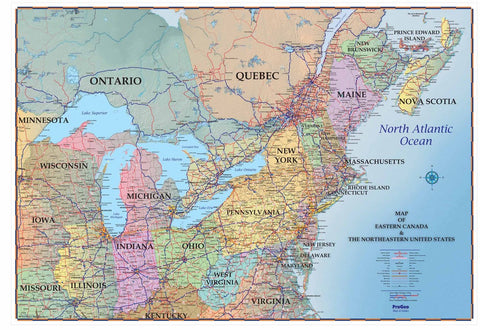
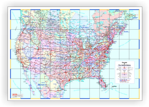
Map of Canada - 72" x 48" LAMINATED
This Map of Canada has thick lamination on both front and back making it perfect for marking and erasing with dry erase markers. It shows the entire country including the North Pole. Each province and territory are differentiated with beautiful, pastel colors. This map also boasts thousands of place names, accurate boundaries and clear indications of major roads.
It makes a great gift and may also be personalized in a variety of ways. Add your company's logo, your office locations or your family's travel history!
Please email us with your request or with a framing quote and we'll get right back to you.
We Also Recommend