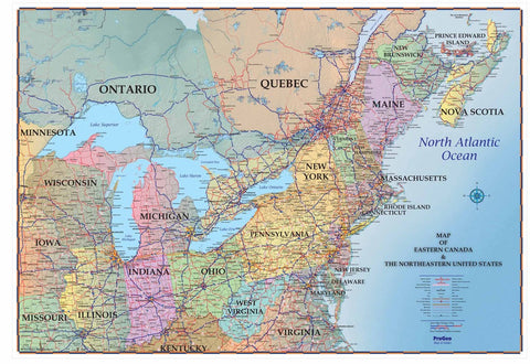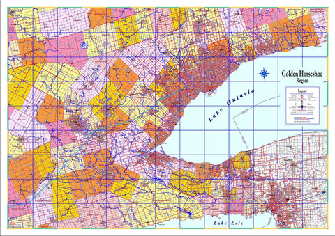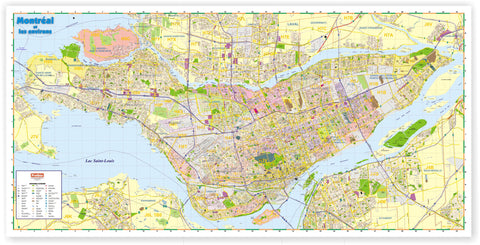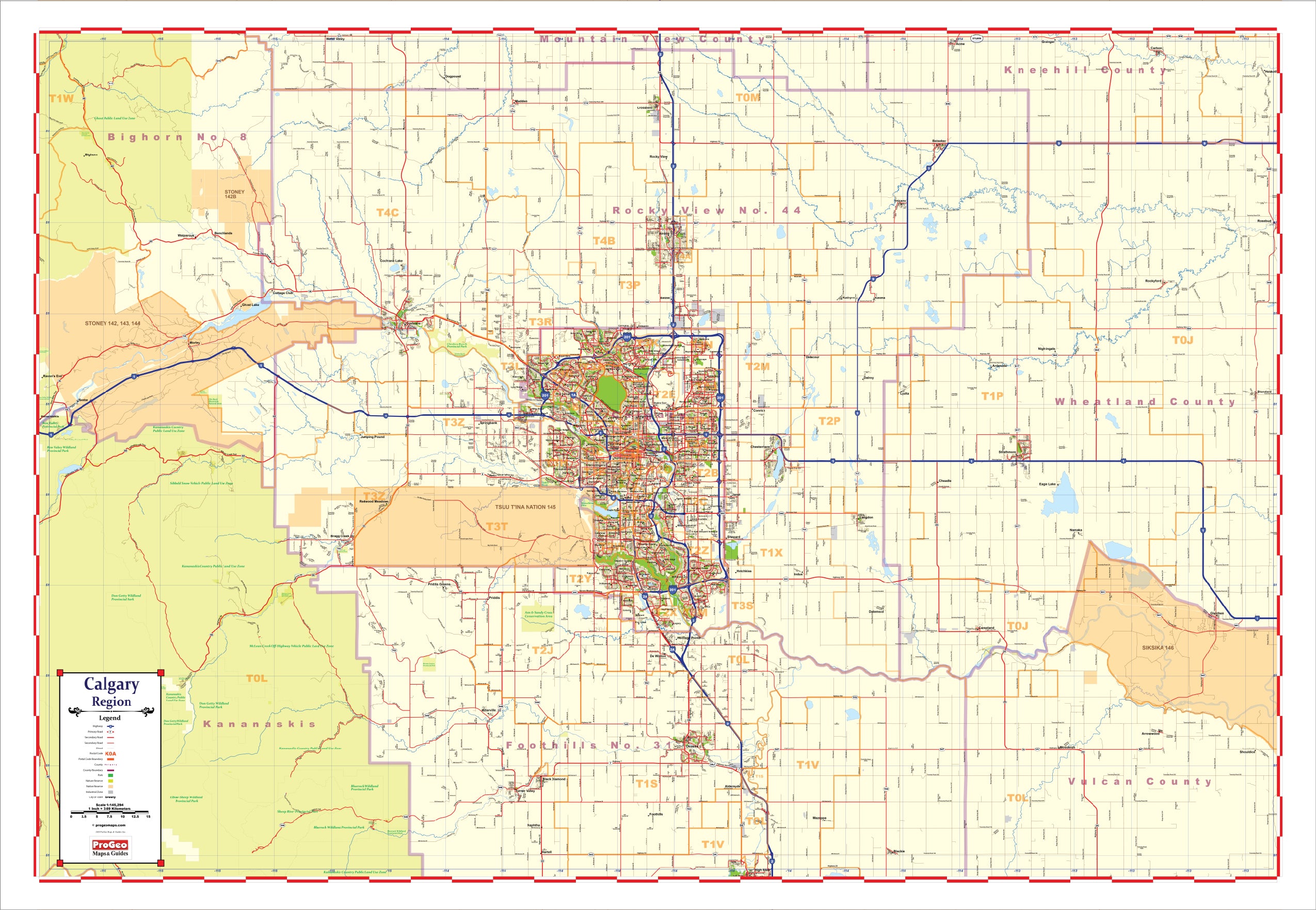
Map of the Calgary Region - Large and laminated New 2021 Edition with Postal Codes
Map Description
ProGeo Maps Planning Series wall map of the Calgary Region is the most comprehensive map of the greater Calgary area. With detailed postal codes, it is the ideal map for the professional who needs a larger style working map for planning, marketing and sales strategy, routing or reference. The map is laminated on both sides making it virtually indestructible, and it’s perfect for use with dry-erase markers, stickers and labels. Our laminated Planning Series wall maps are easily rolled up and portable for those at-home or on the road planning meetings. Wall maps have always been powerful vision tools. For over 25 years ProGeo Maps has worked hard to design and make the best maps to help you reach your goals. All of our maps can be modified and customized to suit your needs. Reach out by email for any questions or requests you might have.
- New 2021 Edition
- Dimensions 72 inches wide by 48 inches high
- Laminated on both sides with thick and glossy lamination
- Writable and erasable only with dry-erase markers
- Pastel colors easily highlight cities and towns
- Printed with UV inks to resist fading
- Includes postal codes which can be removed or colored upon request
- All ProGeo Maps can be modified and customized
- Easily rolled and portable weighs only 2 lbs
- Ships within 2 days
We Also Recommend